Downtown Flood Mitigation Feasibility Study
Climate change is causing sea levels to rise. Moncton’s unique location on the Petitcodiac River and the twice-daily tidal bore means we are exposed to those rising sea levels. For all intents and purposes, twice a day we become a coastal city.
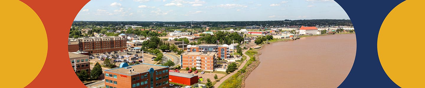
Today, the tidal bore can raise water levels by up to 8 metres above sea level. Some areas already experience minor flooding during very high tides. Much of Downtown Moncton is on low-lying land, which makes it more at risk.
By the end of this century, sea levels are expected to rise by about one metre. This means high tides could regularly reach 9 metres or more, high enough to flood parts of downtown. Storms that happen during high tide could push water levels even higher.
We are conducting a feasibility study to identify and evaluate cost-effective ways to help protect Downtown Moncton from future tidal flooding.

Click here to view a larger version of the map.
HOW YOU CAN PARTICIPATE:
- Have you experienced flooding on your downtown property, or seen flooding in the downtown area? Answer our short survey to help us understand Monctonians’ experiences and thoughts about flooding in the downtown.
- Ask a question in the Questions tab below.
- Send us an email at letschat@moncton.ca
Questions or comments?
Submit any questions or comments relating to this topic, and the team will respond, either publicly or privately, depending on the nature of the question.
Custom

Who's Listening
-

-

Email letschat@moncton.ca
Thank you for your contribution!
Help us reach out to more people in the community
Share this with family and friends